Make the Streets
a Navigation Playground.
GPS for Digital Transformation of Orienteering.
NaviTabi brings the fun of navigation to all people through GPS orienteering.
Download the app for free and be part of the community providing Orienteering to the world.
Can Do 1
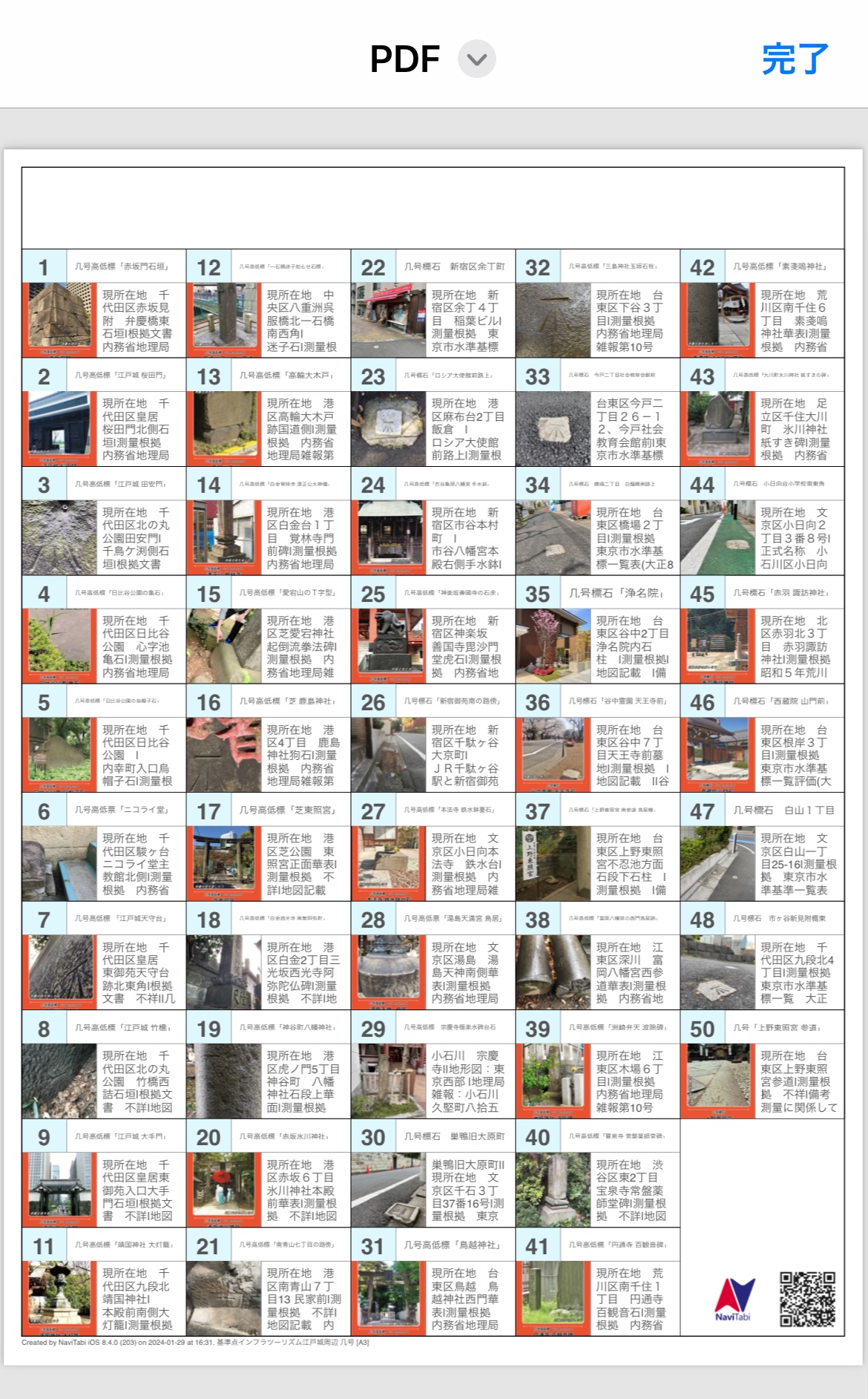
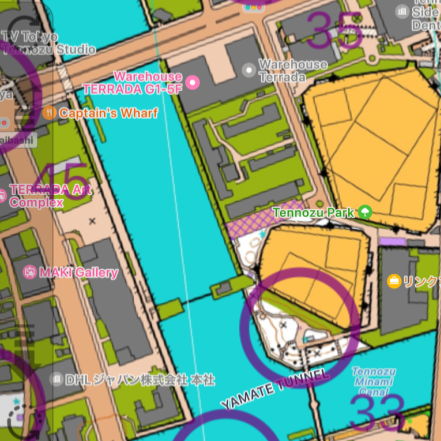
Run the Courses
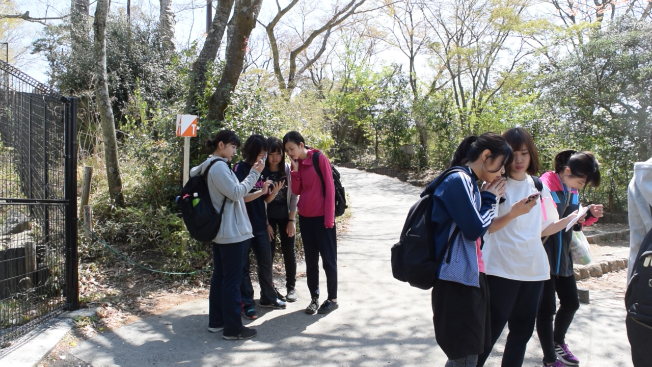
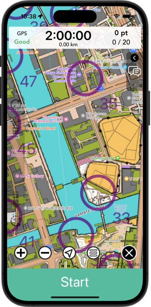
Ever think about orienteering in the streets of Taipei? Run through fields in France? Get lost in maze like streets in Tokyo? NaviTabi courses have been set up all of the world – 48 countries. Many of the courses use the Photo checking together with GPS, so many courses act as tourist guides of cities. Download and check out the courses and see where you can visit around the world. Some photos and maps even travel back in time!
Can Do 2
Create Courses
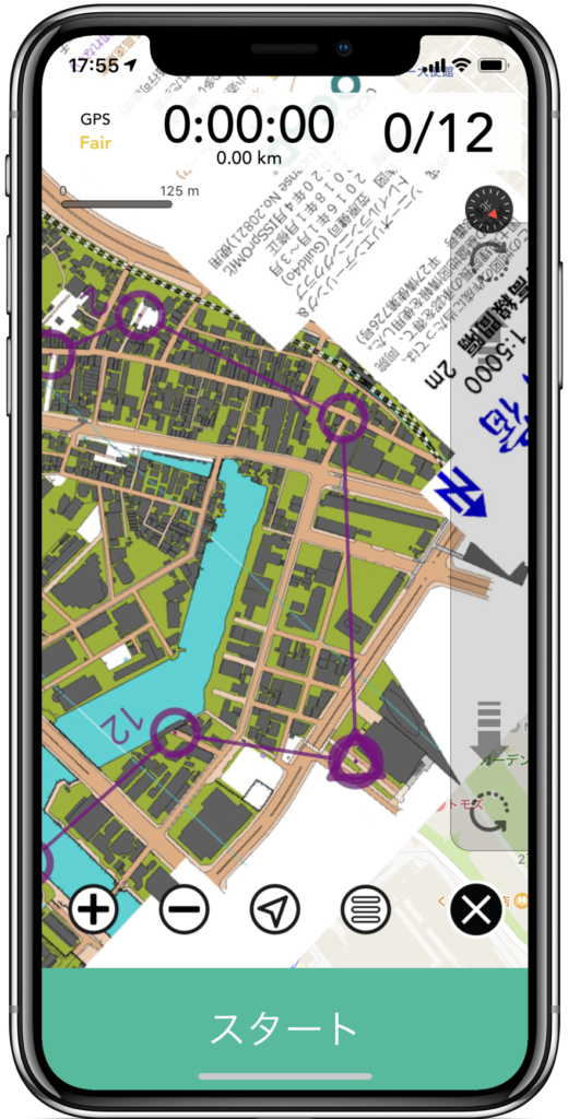
Creating courses on NaviTabi is a walk – literally! All you need to do is walk the course, use the app and GPS to find the right spot, and plot on the map. The simple UI allows you to create the course without expert knowledge. Courses can be straight, free point, or score. You can also set up quizzes and make it fun for kids as well.
Can Do 3
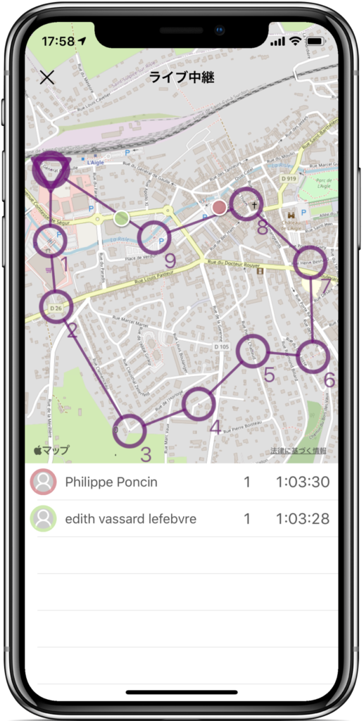
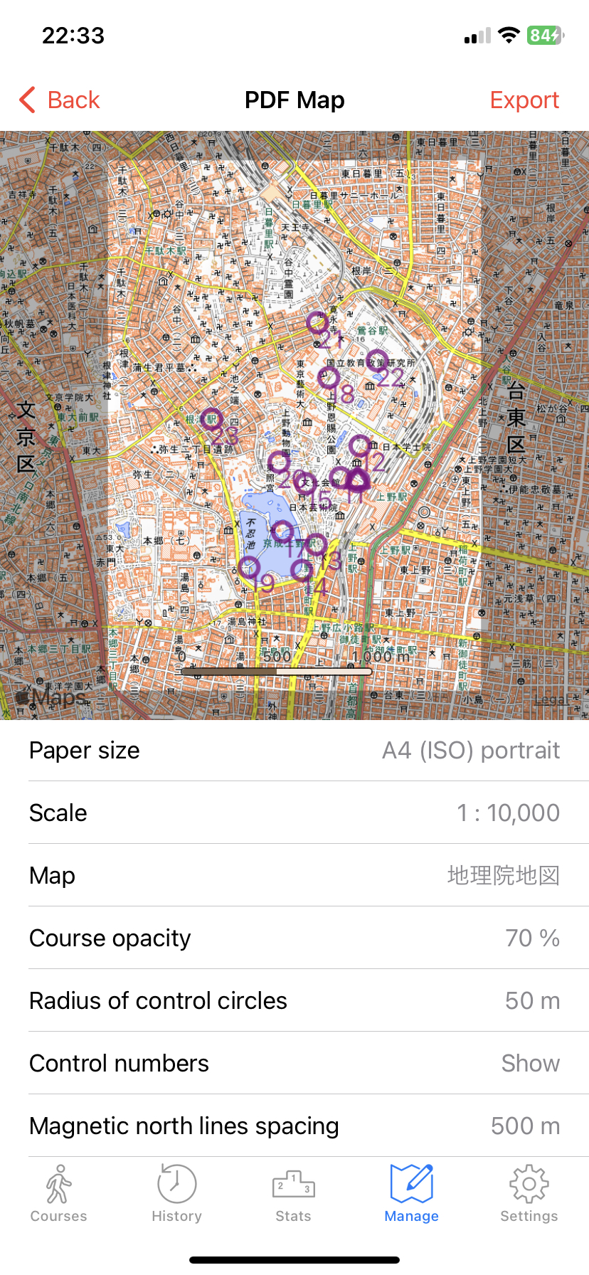
Organize GPS Orienteering Events
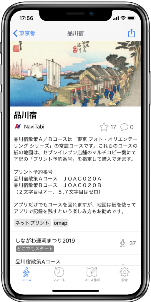
NaviTabi has full functions for setting up a GPS Orienteering Event on a smartphone app – for Free! From preparing the course, setting up the entry list, accepting entries, creating PDF map, and time keeping – you can do it with the app. You don’t have to be an Orienteering event professional to prepare for your first time club event.
News


Latest Events
on 2026/02/12 at 12:46
一般交通利用者の範囲内で、コースアウトしても現地で通行可能な道のみを使用して復帰する事(現在地ボタン使用可)|駐車場や私有地への立ち入り禁止|(2026年2月時点通行確認済み)