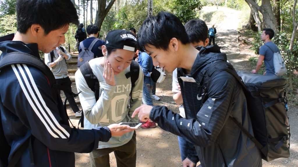
Anyone can create events using NaviTabi
Run an Orienteering or Rogaining event with just a smartphone!

- No need for mapping – Open Street Map is used as standard base map. You can upload your own map as well.
- Creating a course can be done by simply placing controls on the map of the app.
- No need for timing devices – GPS is used to check controls.
- No need for printing maps – the app is used.
- Results are updated real time
- GPS tracking device is standard – using the app.
First Steps
Build a course for free and publish
- Download the App
- Create a course and publish on the App
- Run!
With Premium Plan,
More useful Organzer Function
- Permission multiple organizers to help create the course together as well as manage the event
- Easily create PDF files of the map for printing, together with QR code and magnetic north line
- Enforce GPS Tracking of participants
- Time Pausing functions to allow participants to stop at sponsor restaurants or shops